Philadelphia, Pennsylvania Map
Philadelphia Map > Interactive Philadelphia Maps
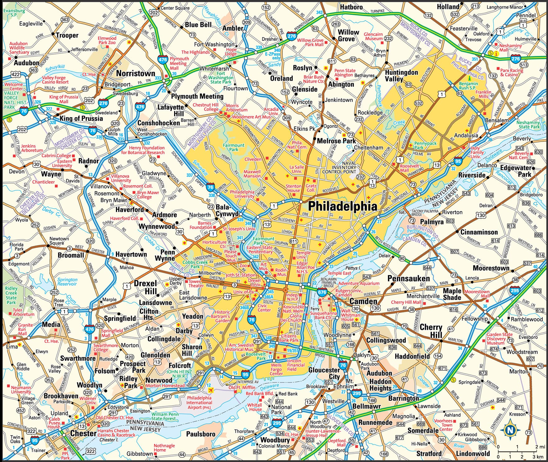
Philadelphia Area Map

Downtown Philadelphia Street Map

Philadelphia attracted many immigrants and settlers and eventually became the financial capital of the colonies, as well as a major port city and a center of science. It also became the political center of the 13 colonies' rebellion during the Revolutionary War and the meeting place of the First Continental Congress in 1774. The Second Continental Congress met in the Pennsylvania State House from 1775 to 1783, and it was here that delegates signed the Declaration of Independence on July 4, 1776. Now known as Independence Hall, the Pennsylvania State House was also the place of the drafting of the Articles of Confederation, and the Constitutional Convention drafted a guiding blueprint for the nation's federal government here.
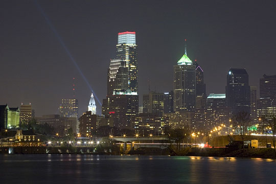
 Philadelphia Skyline at Night
Philadelphia Information Directory
- Philadelphia City Government - official City of Philadelphia website.
- Philadelphia Weather and News - current weather in, and recent news about, Philadelphia.
- Philadelphia Product and Service Guide - Philadelphia enterprises.
- Philadelphia Schools - Philadelphia area educational institutions.
All rights reserved.
About Us
The Philadelphia area map and downtown Philadelphia street map are © Globe Turner.